| Prev | Gallery 3 - One Moreton Bay Fig Tree Project |
More Details | Home Page Menu / Back To Gallery Page
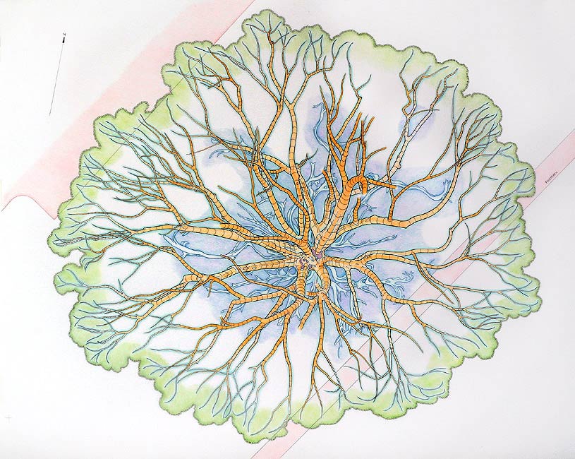
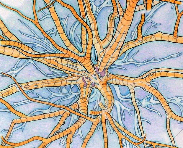
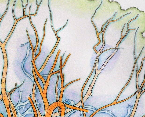
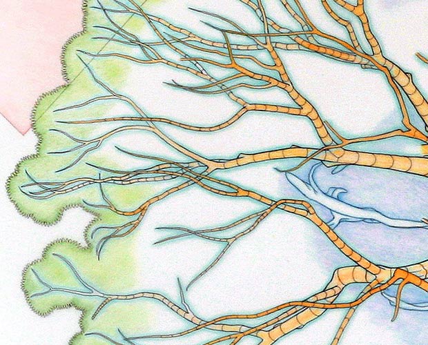
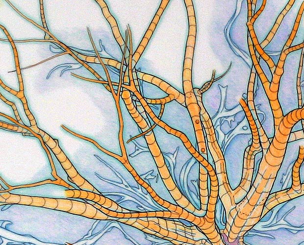
74 cm (w) x 55 cm (h), biro and watercolour pencils on drafting film.This is a tracing of a map drawn in pencil of the tree’s main lower boughs. The map drawn in pencil was done on-site, on drafting film over a printout of a drawing of a map of the tree’s exposed buttress roots, and concentric rings representing distances from an arbitrarily chosen centre point. The map of the exposed buttress roots helped considerably with the mapping of the main boughs. The boughs have been drawn as if looking down on them, but were mostly drawn while looking up at them - requiring considerable concentration and discipline. I decided to trace the drawing freehand, rather than using “French Curve” guides used in technical drawing. The drawing was very complex and would take an enormous amount of time otherwise. Doing it freehand still took about 2 weeks to complete. One of the reasons I wanted to produce this map was to get an idea of the tree’s overall structure and shape of its canopy. I was surprised, but comforted, to find how ‘geometrically even’ the results were. The canopy is fairly close to an elliptical shape. I also thought that a map such as this could be useful as a way of indicating where some of my drawings were produced from. This map has been used extensively on my ‘CD presentation’ of this project for indicating where various pieces were produced from. |
More Details | Home Page Menu / Back To Gallery Page
| Prev | Gallery 3 - One Moreton Bay Fig Tree Project |