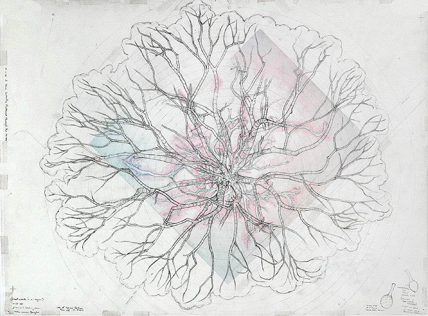
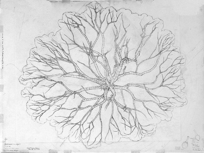
74 cm (w) x 55 cm (h), graphite pencil on drafting film, over cartridge paper.
Date produced: 2005
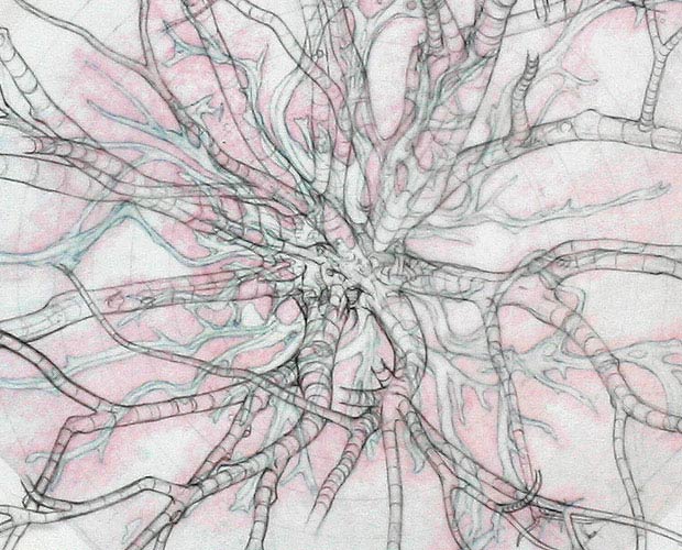
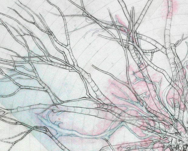
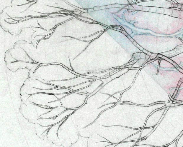
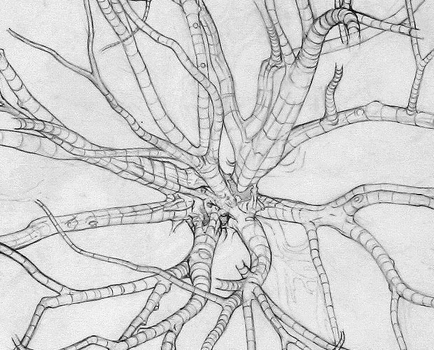
This map drawn in pencil was done on-site, on drafting film over a printout of a drawing of a map of the tree’s exposed buttress roots, and concentric rings representing distances from an arbitrarily chosen centre point (the same centre point used for the Map of the Exposed Buttress Roots). The Map of the Exposed Buttress Roots helped considerably with the mapping of the main boughs. Similar crude surveying techniques to those used for the Map of the Exposed Buttress Roots were used for this drawing as well. The boughs have been drawn as if looking down on them, but were mostly drawn while looking up at them - something that required considerable concentration and discipline.
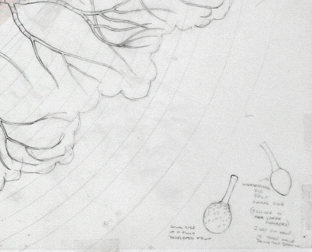
One of the reasons I wanted to produce this map was to get an idea of the tree’s overall structure, the shape of its canopy, and the patterns within its spreading main boughs. I was surprised, but comforted, to find how ‘geometrically even’ the results were. The canopy is fairly close to an elliptical shape. The boughs and branches, when experienced from being on the ground under the tree’s canopy, seem to be heading off in all directions without an overall plan, but when seen as a map, show a fairly even distribution through the available spaces. Note how the northern side of the tree (towards the prevailing sun) extends out further than the southern side. There are many low horizontal boughs on the northern side, but none on the southern side. The main boughs on the southern side rise up sharply. The canopy, seen as a whole, is like a large radio dish tilting towards the north, for maximum sunlight. As when doing the Map of the Exposed Buttress Roots, it was quite common for falling fruit to fall directly onto the drawing while I worked, making very loud and unexpected noises like guns being fired. These falling fruit also left little round pink marks on my drawing.
|